WildRelayapplied hydraulics for wildland firefighting
WildRelay helps plan water supply for wildland firefighting: define the route, size the pump relay chain, and check pressure and flow along the line.
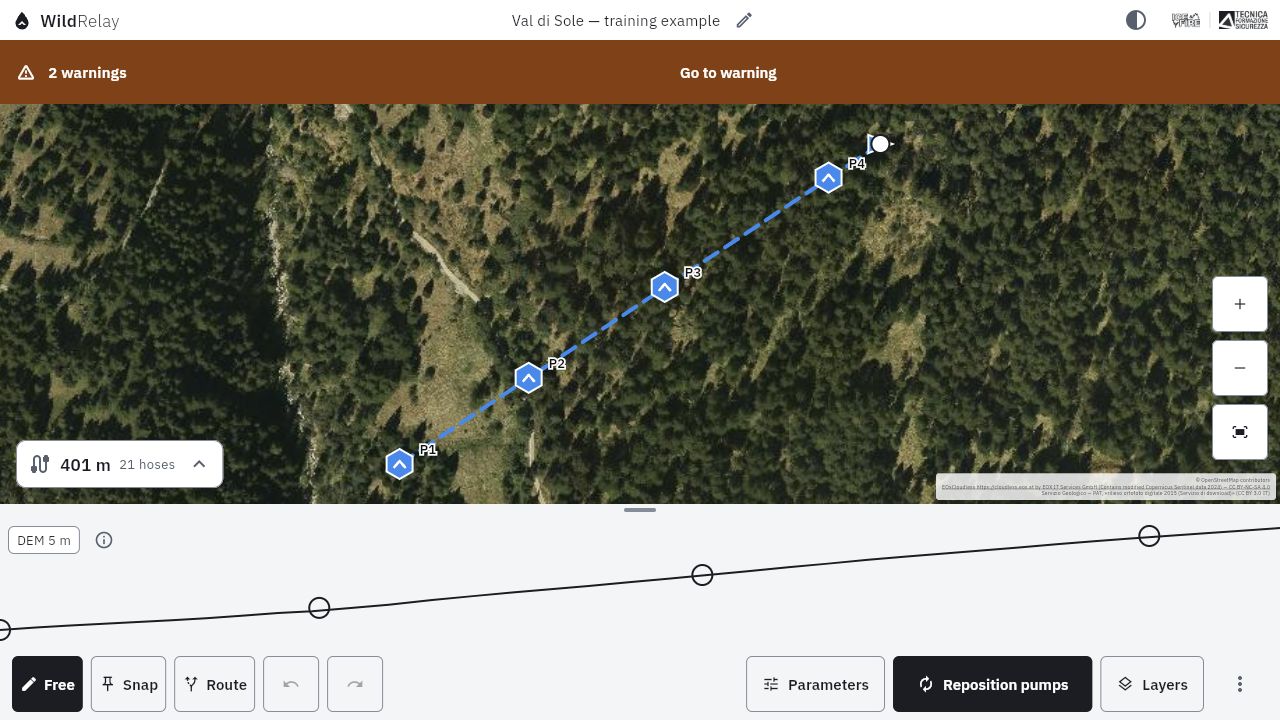
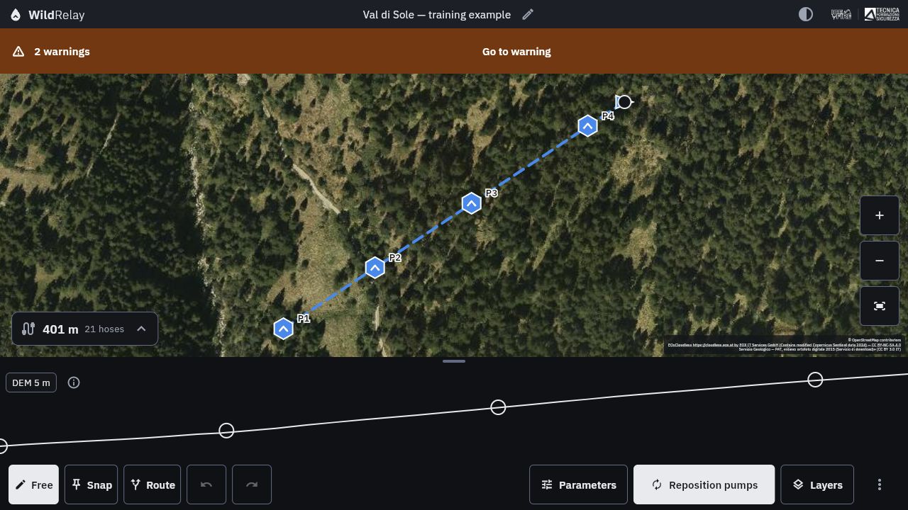
Route, pump positions and elevation profile in one plan. A training example in Val di Sole, not an operational plan.
Orthophoto: Servizio Geologico — PAT, «rilievo ortofoto digitale 2015 (Servizio di download)» · CC BY 3.0 IT. Basemaps: © OpenStreetMap contributors · ODbL 1.0; EOxCloudless — EOX IT Services GmbH, contains modified Copernicus Sentinel data 2024 · CC BY-NC-SA 4.0.
Who it’s for
For wildland firefighters, crew leaders and incident commanders who size and check relay lines. For instructors and trainers who supplement course tables with a numerical check. For technical offices and operations rooms that prepare scenarios, compare alternatives and document operational plans.
What it does
Plans the route on the ground
Draw the line on the map or follow roads and tracks. Compare alternative routes by length, elevation change, estimated deployment time and hydraulic requirements. The elevation profile is derived from digital terrain models, with the data source and resolution identified.
Identifies water-supply sources
Consult mapped water points and add those known to the crew: hydrants, tanks, suction points and other water resources. For each one, record its characteristics, accessibility and completed checks. The estimated suction lift must be confirmed before it is used in the calculation.
Sizes the pump relay chain
Set the required flow and pressure, select hoses and equipment, and obtain a proposed number and placement of pumps. You can adjust it and check the effects along the profile.
The calculation accounts for elevation changes, friction losses and pump performance in the conditions set. It flags insufficient or excessive pressure, suction limits and the risk of water-column separation. For intermediate tanks, it checks the balance between supply and withdrawal and estimates emptying or filling times.
Assesses the fire scenario and water demand
Start from the observed flame characteristics or build a planning scenario from fuel, moisture, wind and slope. WildRelay estimates fire behaviour and proposes a water demand, identifying the model’s assumptions, uncertainties and limits. The flow selected for sizing remains the operator’s decision.
Uses team equipment and stores
Customise the catalogue of pumps, hoses, nozzles, fittings and tanks by entering technical data and performance curves from manufacturers’ data sheets.
With an account, manage the stores of the organisations you belong to: locations, quantities, equipment condition and deployment history. In the same plan, combine materials from different teams. Adding equipment to a project is not a booking: actual deployment is recorded separately, with due date, renewal and return confirmation.
Brings operational information together on the map
Overlay roads and tracks, hydrography, boundaries, contours, slope and aspect on maps and orthophotos. Record gates, fords, obstacles and crew observations directly in the project.
You can also consult available sources on burnt areas and weather conditions. Source, date and update status distinguish external data from observations verified on site.
Works without a connection
Prepare the required geographical data before deployment, then continue to consult projects and carry out calculations without a network connection. Local use does not require an account. Signing in enables synchronisation, sharing and store management; updates from external services require a connection.
Produces a plan to share and use
Export PDF reports and sheets with the map, profile, pump positions, required materials and calculation warnings. Images and GPX, KML and KMZ tracks are available for navigation devices and mapping software. The .wildrelay format preserves the editable project for archiving or passing to a colleague.
Calculation method
You can choose the rapid method, the engineering method, or compare the two.
The first applies the simplified relationships and tables used in training.
The second describes the line section by section, accounting for hoses, elevation changes, fittings, pump curves and operating conditions. It returns a nominal value and a band showing how the result changes when assumptions about friction and pump performance vary.
Critical issues flagged in real time
WildRelay distinguishes warnings from errors that make the line hydraulically infeasible. It flags critical conditions and identifies their location along the route. Warnings require an operator’s check even when the calculation returns a feasible result.